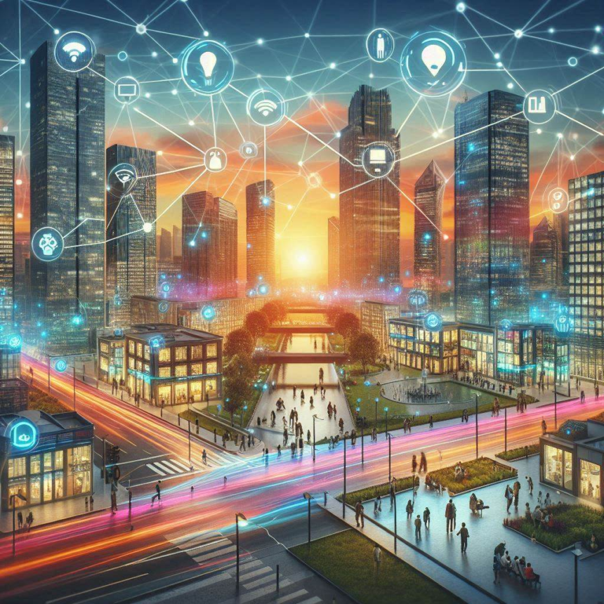
GeoAnalytics transforms how we shape smart cities. You’ve got IoT devices collecting data everywhere, each bit a puzzle piece for better city planning. Want streets to run smoother or emergency services to react faster? GeoAnalytics helps make that happen.
Data isn’t just numbers; it’s the city’s heartbeat. Dive into infrastructure decisions, improve public safety, and boost sustainability.
Understanding these processes opens doors in this field, so stick around as we explore its exciting potential for modern urban living.
Integrating IoT Devices with GeoAnalytics
Picture a city where each lamppost and trash can holds secrets. These aren’t mundane objects, they’re part of an intricate data network. Integrate them using geoanalytics, then watch how city planners begin wielding power previously unimaginable.
AI is already optimizing traffic by analyzing patterns from sensors embedded in roads, like a real life version of Cities Skylines. What if weather stations and air quality monitors work in tandem to alert the public about rising pollution levels?
Streets smarten up as systems autonomously adjust lighting based on foot traffic detected through nearby devices.
But this isn’t science fiction! It’s real life unfolding right now. Data streams create maps teeming with actionable insights, which urban designers transform into efficient spaces catering to human needs.
This fusion is more than tech speak; it’s a blueprint redefining modern cities through a lens everyone deserves: intelligence meeting infrastructure at every corner.
The Role of Sensors in Traffic Management
Sensors, the silent sentinels of smart cities, gather real-time data from roads. They track vehicle flow and pedestrian patterns, feeding this information into geoanalytics systems.
City planners then orchestrate traffic lights with precision timing to reduce congestion and enhance safety.
Real-Time Environmental Monitoring Systems
Environmental monitors act as vigilant guardians against pollution spikes or sudden weather changes. Imagine air quality sensors whispering warnings when pollutants rise unexpectedly high, triggering alerts for citizens to stay indoors or take precautions.
These systems integrate seamlessly with geoanalytics platforms that visualize data on dynamic maps.
Weather stations collaborate too, sharing insights about impending storms so urban managers can deploy resources proactively rather than reactively scrambling post-disaster chaos cleanup crews together at the last minute possible moment available during emergencies where every second counts toward ensuring public safety remains paramount priority always.
Educational Pathways for Aspiring Data Intelligence Professionals
Geoanalytics expertise is essential in our tech-focused era. If you are aiming to enhance your professional credentials in Data Intelligence and GeoAnalytics, an M.S. program offers a comprehensive dive into geospatial data’s complexities.
These programs teach everything from data collection techniques to advanced analytical methods, equipping you with tools needed for real-world applications.
You’ll explore case studies on smart city planning, learning how cities leverage IoT devices and geospatial insights to make informed decisions.
With expert-led courses and hands-on projects, these educational pathways prepare you not just to enter the field but excel within it. The knowledge gained positions you as a valuable asset in shaping future urban landscapes.
Understanding Citizen Mobility Patterns and Needs
Geoanalytics provides a clear view of how people move through cities. By analyzing movement patterns, planners identify where foot traffic increases, or vehicles slow down. This data helps address congestion, and improve urban design.
Why do some areas attract more activity? Geoanalytics maps pedestrian flows against commercial zones, transport hubs, and parks to uncover these trends.
These insights allow cities to allocate resources wisely, like adding bike lanes where cyclists often travel, or adjusting public transit routes based on demand.
Beyond logistics, understanding mobility ensures services meet citizens’ needs effectively. Infrastructure can evolve with population changes rather than lagging behind them. Essentially, geoanalytics turns raw data into strategies for building communities that align with residents’ daily lives.
Challenges and Solutions in Implementing GeoAnalytics
- Data Integration: Cities often struggle with integrating diverse data sources, leading to fragmented insights. Establishing standardized protocols can streamline this process.
- Privacy Concerns: Collecting geospatial data raises privacy issues for citizens. Implement robust encryption and anonymization techniques to protect sensitive information.
- Cost Constraints: High costs of technology deployment can deter cities from adopting geoanalytics solutions. Explore scalable options or partnerships that reduce financial burdens.
- Solution Development: Collaborate with tech companies to create tailored geoanalytics tools that address specific urban challenges effectively.
- Training Programs: Invest in training programs for city planners and IT staff, ensuring they possess the skills needed to leverage geoanalytics fully.
- Public Engagement: Foster community involvement by sharing how geoanalytics benefits residents, building trust through transparency.
Final Insights: Transforming Urban Landscapes with Data
Geoanalytics is reshaping how cities function, offering planners the tools to make informed decisions that enhance urban life. By harnessing data from IoT devices and geospatial sources, city officials can optimize infrastructure, improve public safety, and promote sustainability.
As technology evolves, staying ahead requires continuous learning and adaptation.
Ready to dive deeper into this transformative field? Explore educational opportunities in Data Intelligence and GeoAnalytics to become a leader in crafting smarter cities for tomorrow’s world.


