
Ever wondered how your favorite food delivery app knows the quickest route to your door, or how city planners decide where to build new schools? The answer might surprise you: it’s all thanks to GIS.
GIS, or Geographic Information System, is like a super smart map that can do much more than just show you where places are. It’s a tool that helps us understand our world by combining maps with all sorts of information. From finding the best location for a new business to tracking the spread of a disease, GIS is used in countless ways to solve problems and make better decisions.
In this blog, we will explore what GIS is, how it works, and some of the amazing things it can do. Let’s begin!
What is GIS?
At its core, GIS is a technological framework that integrates various types of data with geographical reference. It uses spatial and geographic data to create dynamic, interactive maps that can be manipulated and analyzed for diverse applications. A GIS system is composed of five key components: hardware, software, data, people, and methods. The hardware can include devices ranging from servers to mobile devices, while the software processes the data to produce visual representations. This data, often gathered from multiple sources, may include information on elevations, road networks, or population demographics. These elements collaborate to allow users to visualize and interpret complex data in ways that go beyond traditional spreadsheets.
Understanding GIS and its capabilities requires a strong educational foundation in geography, computer science, and data analysis. Institutions worldwide offer courses from certificates to advanced degrees in Geographic Information Systems. For professionals seeking to enhance their career, an online masters in GIS offers comprehensive training in GIS applications, data analysis, programming, and management skills necessary for leadership roles. These online programs enable students to engage with complex simulations and real-world scenarios, providing practical experience alongside theoretical knowledge.
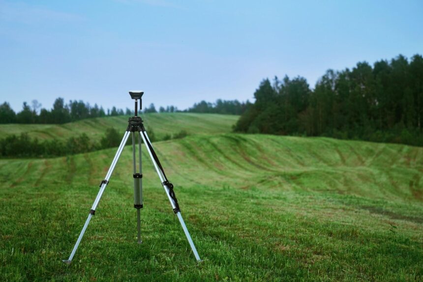
Mapping and Cartography
GIS has transformed cartography, the art and science of map-making. The traditional pen-and-paper methods have been replaced by sophisticated software that can produce detailed maps that are accurate and up-to-date. GIS mapping includes layers of information, such as topography, infrastructure, and population data, which can be easily updated and manipulated. These maps are essential for urban planning, environmental monitoring, and resource management. They help cartographers and researchers to perform spatial analysis and model various scenarios based on geographic data. For instance, GIS can be used to model water flow in an area for flood risk assessment or to visualize the impact of new construction on traffic patterns.
Disaster Management and Response
In disaster management, GIS is indispensable. It helps to predict disaster impacts, plan evacuations, and coordinate response efforts effectively. GIS systems can integrate real-time data, such as weather patterns, to forecast the paths of hurricanes and floods. This information is crucial for emergency planners and responders, who rely on accurate maps to organize evacuations and deliver resources where they are needed most. Post-disaster, GIS is used to assess damage and guide recovery and rebuilding efforts. It provides a platform for combining various data types, including satellite imagery and on-ground assessments, to create a comprehensive view of the affected areas.
Environmental Conservation
GIS technology is equally vital in environmental conservation. It enables scientists and conservationists to monitor changes in natural habitats, manage resources, and enforce environmental regulations effectively. Through GIS, environmentalists can track deforestation rates, monitor endangered species, and manage national parks and other protected areas. For example, GIS can help create buffer zones around protected areas, track illegal logging activities, or model the impacts of climate change on biodiversity. This ability to plan and implement conservation strategies based on reliable geographic data is important for sustaining ecosystems and biodiversity.
Urban Planning
Urban planners rely extensively on GIS to make cities more functional, safe, and sustainable. By overlaying maps with data on population density, transportation networks, land use, and utilities, GIS helps planners visualize the current state of urban areas and forecast future needs. This technology is particularly useful for zoning decisions, infrastructure development, and transportation planning. For instance, GIS can analyze traffic flow patterns to determine the best locations for new roads or upgrades to existing ones. It also helps in identifying areas in need of public services such as schools and hospitals. By simulating different development scenarios, GIS assists city planners in making decisions that promote optimal growth and development while considering environmental impacts.
Agriculture and Land Management
In the agricultural sector, GIS has become a cornerstone for managing land and resources more efficiently. Farmers use GIS for precision farming, which involves analyzing soil data and weather patterns to optimize planting cycles and irrigation. This targeted approach helps maximize yields while minimizing waste and environmental impact. GIS data assists in managing agricultural operations by monitoring crop health, predicting pest infestations, and determining the best times for planting and harvesting. For land management, GIS is used to map property boundaries, manage natural resources, and plan the use of land in ways that prevent overuse and promote sustainability.
Health and Epidemiology
GIS tools play a critical role in public health by tracking disease outbreaks and managing healthcare resources. By mapping the spread of diseases, health officials can identify hotspots and allocate resources effectively. GIS applications in epidemiology include monitoring the spread of infectious diseases, assessing public health risks, and planning the locations for health facilities. During the COVID-19 pandemic, GIS was instrumental in tracking cases, modeling virus spread, and planning vaccination rollouts. The technology allows for a real-time response and enables health officials to make data-driven decisions to protect public health.
Business and Marketing
Businesses leverage GIS to gain a competitive edge by analyzing market trends and consumer behavior geographically. This technology helps companies identify potential new markets, optimize supply chains, and enhance customer service. Retail businesses use GIS to decide where to open new stores based on demographic and economic data of specific areas. Marketing teams use GIS to target promotional campaigns more effectively by understanding the geographic distribution of their customer base. Additionally, GIS assists in logistics planning, helping businesses minimize delivery times and costs by optimizing route planning.
Telecommunications and Network Services
For telecommunications companies, GIS is essential for network design, planning, and management. It enables these companies to map existing infrastructure and plan the expansion of services such as broadband and mobile networks. GIS helps in identifying optimal locations for new cell towers to maximize coverage while considering geographic and demographic factors. It also aids in managing network issues by pinpointing problem areas and facilitating quick resolution. In customer service, GIS allows companies to better understand and address coverage issues reported by customers, leading to improved service reliability and customer satisfaction.
GIS is more than just mapping; it’s a powerful tool that helps us understand our world in new ways. By bringing together different kinds of information and showing it on maps, GIS can uncover hidden patterns and relationships. This knowledge can be used to solve problems, make better decisions, and create a better future. Whether it’s finding the best location for a new school, tracking the spread of a disease, or managing natural resources, GIS is a key player in shaping our world.